Survey and mapping
Aerial surveys and GIS mapping that turn flights into usable maps and models.
Inspection and monitoring
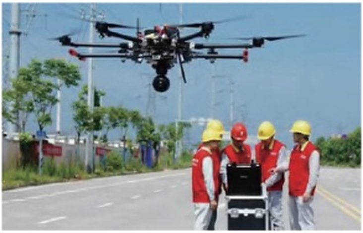
Regular inspection of infrastructure, utilities and industrial assets without sending people up towers or onto roofs.
Surveillance
Aerial observation for security and border management.
Aerial mapping
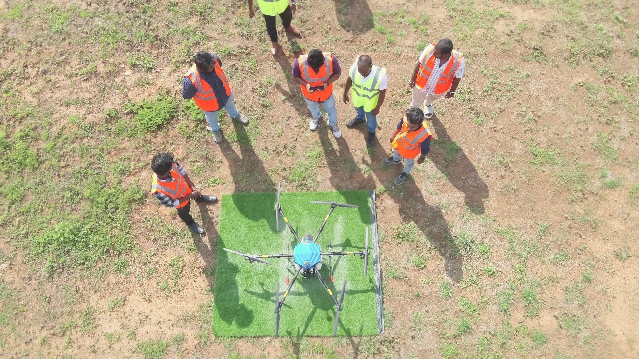
Mapping flights that also support targeted spraying in agriculture.
Ground truthing
On-the-ground verification of aerial data so results can be trusted.
Where the work happens
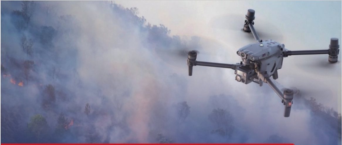
IDA's training spans plant protection, aerial photography, aerial surveying, power-line inspection, fire protection, border defence, traffic command and rescue, the same fields these services serve.
Industry-grade platforms
Operations draw on industry aircraft used across IDA's bases, including industrial multi-rotor UAVs, and the RTK-based tools described on the flight assessment page.
Service scope, availability and pricing are confirmed with the IDA team at enquiry.